Walking
27 May 2025
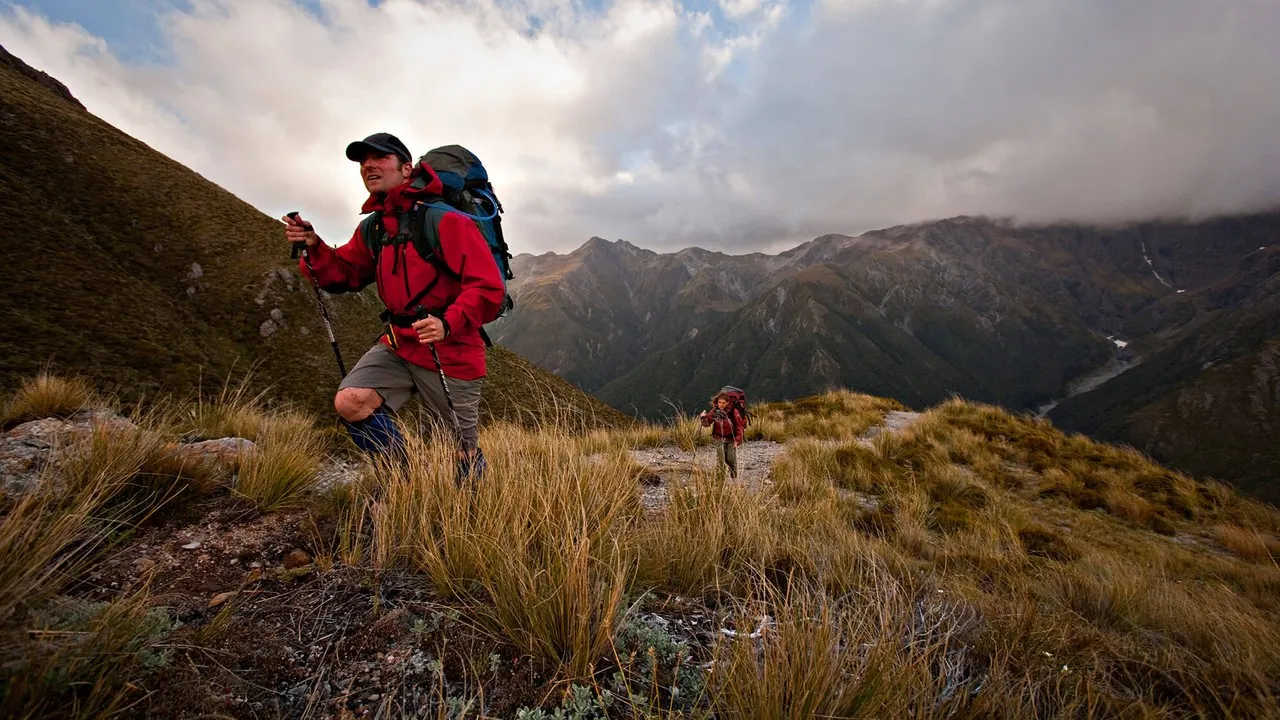
Mid Canterbury walks
A selection of tracks & trails to experience the best scenery Mid Canterbury has to offer.
Explore the walking tracks in Mid Canterbury
There's a vast selection of tracks to experience the subalpine and tussock settings of Mid-Canterbury. Highlights include waterfalls, beech forest and the Mount Somers southern fault system.

Short walks
Discover short walks in Mid Canterbury under 2 hours in length.
Sidewinder Track, Woolshed Creek
The Sidewinder Track is a steep hill track through old beech forest and climbs sharply through the tailings of the old Blackburn Mine, where it joins the Miners Track back to the carpark or a chance to continue to the Woolshed Creek Hut.
Walk level: advanced tramping track.
Duration: 1km, 45 minutes.
Start location: Woolshed Creek carpark.
Mt Sunday Track
Mt Sunday, famous as the site of Edoras in the movie Lord of the Rings, offers stunning views of the Rangitata River and surrounding mountains.
Walk level: easy walking track.
Duration: 1.5km, 30 minutes.
Start location: Hakatere Potts Road.
Lake Emily to Manuka Hut
Manuka Hut (basic 6 bunks) is a great place to take the family. A small stream near the hut is a fun place to play. Watch out for the New Zealand falcon that nest in the area.
Walk level: advanced tramping track.
Duration: 4.5km, 1 hour 30 minutes.
Start location: Turn right just before crossing Jacobs Stream Bridge at Castleridge Station.
Lake Hill Track
Walk Lake Hill Track and enjoy the beautiful scenery of the surrounding mountain landscape and see the effects of past glaciers.
Walk level: walking track.
Duration: 1.5km, 45 minutes.
Start location: Lake Heron carpark.
Mount Potts Easement Track
You will need your tramping boots to head up the Mount Potts Easement Track. After the easement, there is no marked route to this high peak (2,184m). The view is worth the effort!
Walk level: tramping track.
Duration: 1.5km, 30 minutes.
Start location: Hakatere Potts Road.
Medium walks
Discover walks in the Mid Canterbury, over 2 hours in length.
Woolshed Creek Hut
The Woolshed Creek Hut track passes around the southern face of Mount Somers through a mix of open grassland and forested catchments.
Walk level: tramping track.
Duration: 5km, 3 hours.
Start location: Woolshed Creek carpark.
Pudding Hill Stream Route
The Pudding Hill Stream Route is a rural track in a beautiful setting.
Walk level: expert route, tramping track.
Duration: 8.25km, 3 hours.
Start location: Mount Hutt Ski Area access road, or the western end of Alder Track or from Harts Road.
Scotts Saddle Track
Enjoy great views from Scotts Saddle before descending through beech/tawahirauriki forest and alpine herb and tussock communities.
Walk level: advanced tramping track.
Duration: 4.5km, 2 hours.
Start location: Mt Hutt ski area access road.
South Face Track — Rhyolite to Woolshed Creek
The South Face Track takes in dynamic scenery with regenerating mountain beech forest within a landscape of waterfalls and deep icy pools.
Walk level: tramping track.
Duration: 4.6km, 2 hours.
Start location: via Bus Stop & Tri Falls.
Woolshed Creek Hut to Pinnacles Hut
Woolshed Creek Hut to Pinnacles Hut is an easy tramping route through subalpine tussock, on reaching the saddle (1,170m), views of the Taylor and Old Man Ranges dominate the scenery.
Walk level: advanced tramping track.
Duration: 6.2km, 3 hours.
Start location: Woolshed Creek Hut.
Lake Clearwater Circuit Track
Lake Clearwater Circuit Track is a comfortable walk for all the family. Keep a lookout for the Australasian crested grebe, a water bird that never comes on land and the special plant Carex secta. Picnic areas are available.
Walk level: advanced tramping track.
Duration: 10.3km, 3 hours.
Start location: Lake Clearwater carpark.
Lake Emma to Lake Camp Track
Walk to the historic Lake Emma Hut, overnight stays are not permitted, but a great stopping place for a picnic.
Walk level: advanced tramping track.
Duration: 9km, 3 hours.
Start location: access off Hakatere Potts Road.
Lake Heron to Double Hut Track
An old musterers' hut, Double Hut (6 bunk basic), makes a good base for exploring the area, including climbing Mount Taylor.
Walk level: tramping track.
Duration: 10km, 3 hours.
Start location: Lake Heron carpark.
Lake Emily to Stour Bridge
This track follows the Stour River, which is carving its way through rhyolite bedrock. The rhyolite makes a rich soil which supports a wide range of plants.
Walk level: advanced tramping track.
Duration: 15km, 5 hours.
Start location: Stour Bridge carpark.
Mount Barrosa Summit Track
Mount Barrosa Track is an easily obtainable peak with good views across the Hakatere Conservation Park and, on a clear day, to Aoraki Mount Cook.
Walk level: advanced tramping track.
Duration: 3.5km, 2 hours 30 minutes.
Start location: Ashburton Gorge Road.
Potts River carpark to Mystery Lake Link Track
This area to Mystery Lake Link Track is fascinating, with steep roche moutonnée, jumbled scree and large Hall's totara.
Walk level: advanced tramping track.
Duration: 9.2km, 4 hours.
Start location: Potts River carpark.

Mount Somers
Mount Somers offers a number of options for walkers of all abilities to explore and get a taste of back-country New Zealand.
What you need to know:
There are many walks available, including a half-day/full-day hike to one of the DOC huts. Take time to explore your options.
For a circuit trip to Woolshed Creek Hut, walk in on the Miners Track and out via Rhyolite Ridge Track.
There are two main carparks depending on the track you intend to complete.
Both Woolshed Creek and Pinnacles Huts offer an easy overnight tramp.
Don't miss a thing
Sign up to our newsletter to get valuable updates and news straight to your inbox.
)
)
)
Share