Walking
2 April 2025
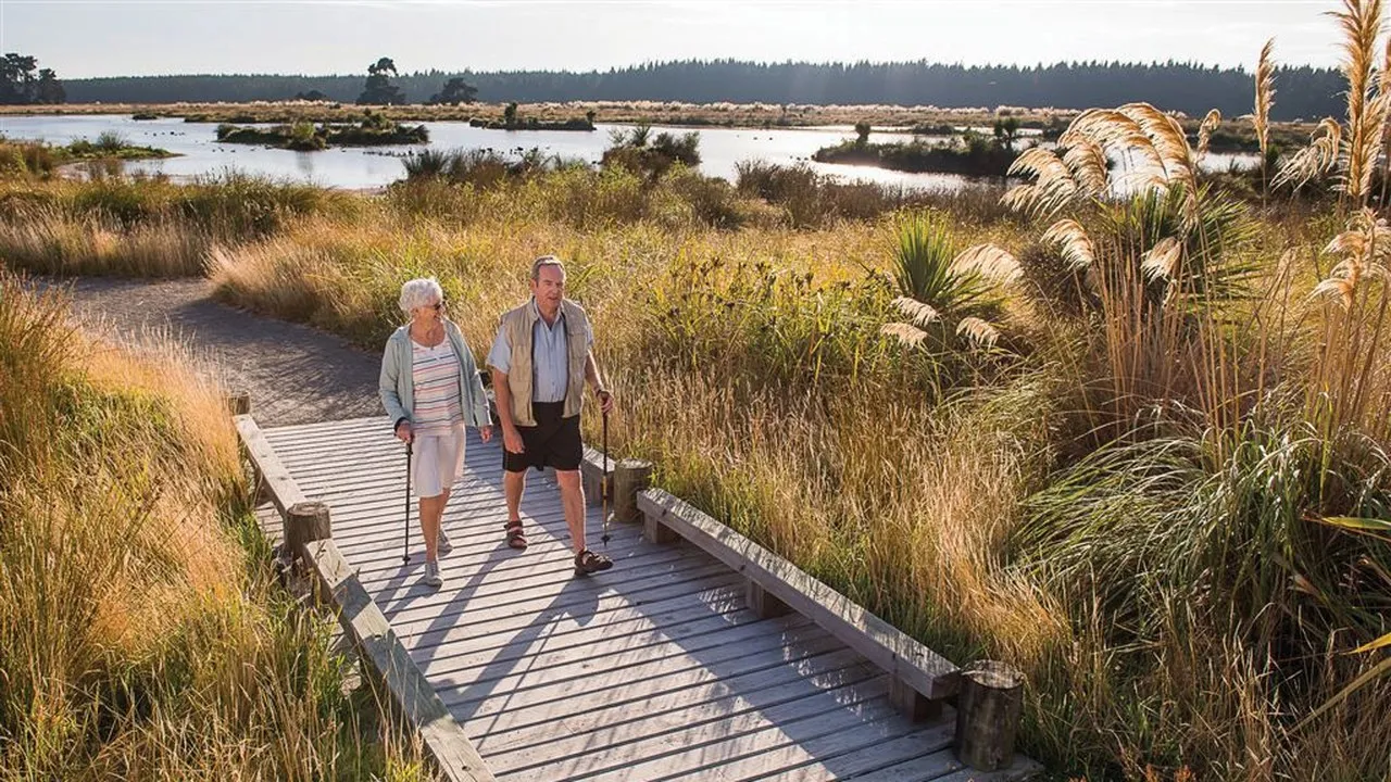
Waimakariri walking and hiking tracks
The Waimakariri district close to Christchurch has a great selection of walking tracks from 20 minutes to a couple of hours.
Explore the walking tracks in the Waimakariri District
There are plenty of walks for all abilities with fantastic scenery from lakes and rivers to native bush and hilltops.
Gather family or friends and head out on these great walking tracks.

Walking Tracks
Short walks
Discover short walks in the Waimakariri district up to 1 hour.
Glentui Waterfall Track
Beautiful waterfall on the Glentui River with remnants of native vegetation including tawhai, beech and tussock forests. Enjoy great swimming holes and popular picnic spots.
Walk level: Walking track
Duration of walk: 30 minutes return
Start location: Glentui picnic area. This is located about 5 km east of the Ashley Gorge Bridge turn left onto Glentui Bush Road, off the Oxford to Loburn Road. This winding gravel road emerges at the picnic area after about 2.5 km.
Glentui Loop Track Nature Trail
This walk starts from a pleasant picnic area. The track descends to a bridge over the Glentui River and then climbs a ridge on the other side. Steep in places with a few major drop-offs before reaching the ridge. Good footwear is required. Walk in an anti-clockwise direction to avoid steepness.
Walk level: Walking Track
Duration of walk: 1-hour return
Start location: Glentui picnic area.
Walking Tracks
Medium walks
Discover walks in the Waimakariri district over 2 hours in length.
Korimako Track (To Ryde Falls)
This well-formed track will give you great views of the Canterbury Plains. Start through beech forests before finally descending down to the three-tiered waterfall, Ryde Falls.
Walk Level: Walking track
Duration: 2 hours one way
Start Location: View Hill car park. From Oxford, drive west on SH72 for about 2km, turn right into Woodstock Road. Travel 10km, turn right up Ingrams Road which turns into Perhams Road. Take the sign posted road to the Wharfedale Track at the View Hill car park. (Heavy rain may stop access on fords). Leave gates as you find them. From the car park, follow the Wharfedale Track to the Korimako Track turn-off to Ryde Falls.
Mt Thomas, Wooded Gully
Mt Thomas Forest Conservation Area is an excellent area for day trips, with two picturesque picnic areas and several walking tracks around the two main summits. Views over the Canterbury Plains to Pegasus Bay, into the Lees Valley and the upper Okuku River. A popular family picnicking and camping area with Woodend Gully stream running through it. Pass through native Tawhai and Beech forests.
Walk Level: Walking track
Duration: 3 hours one way
Start Location: Wooded Gully picnic area
Wharfedale Track
An old stock route from 1890s that crosses tussock flats, follows Dobson Stream and is a long easy graded track. The track is very popular with mountain bikers.
Walk Level: Intermediate tramping track
Duration: 5 hours one way
Start Location: From Oxford drive west on Inland Scenic Highway Route 72 for about 3 km, then turn off along Woodstock Road. After about 10 km turn right up Ingrams Road which turns left into Perhams Road. An AA signpost indicates the turn-off to the start of the Wharfedale Track where the View Hill car park is located. In times of heavy rain two fords on Perhams Road may become impassable.

Don't miss a thing
Sign up to our newsletter to get valuable updates and news straight to your inbox.
:quality(80))
:quality(80))
)
Share