Take a walking tour of Ōtautahi Christchurch
We have a great range of audio walking tours to learn more about Christchurch. Explore our cultural heritage, our history, our architecture and coastline. Enjoy exploring our city at your own pace.
Walking
13 August 2025
Discover the best walking tours of Ōtautahi Christchurch. Explore the city's vibrant streets, hidden gems, and rich cultural history at your own pace with our walking audio tours.
We have a great range of audio walking tours to learn more about Christchurch. Explore our cultural heritage, our history, our architecture and coastline. Enjoy exploring our city at your own pace.

Audio walking guide
Welcome - Nau mai, haere mai!
See and hear how stories of mana whenua have been woven into the rebuild of Ōtautahi Christchurch, from public art and carvings to architecture and public spaces.

Audio Walking Guide
Te Ara Ihutai Christchurch Coastal pathway is a 6.5km shared-use path that connects the communities between Ferrymead Bridge and Sumner along the Estuary.
Listen to the audios as you explore the 7 stops on this vibrant coastal path.

Audio Walking Guide
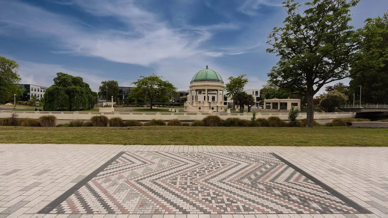
Explore Ōtautahi Christchurch through its architecture and hear the stories of some of its special buildings. Meet historians, architects and other people with deep connections to these places.
Discover how partnering with mana whenua has created what some describe as the best new building in our city and much, much more.

Audio Walking Guide
Find out more about Ōtautahi Christchurch through its many special places and people. Hear stories about famous physicist’s Ernest Rutherford, the Bridge of Remembrance and the recent Riverside Market development and nearby mural.
Explore these stories and more.
Don't miss a thing
Sign up to our newsletter to get valuable updates and news straight to your inbox.
)
)
)
Share