Biking
16 June 2025
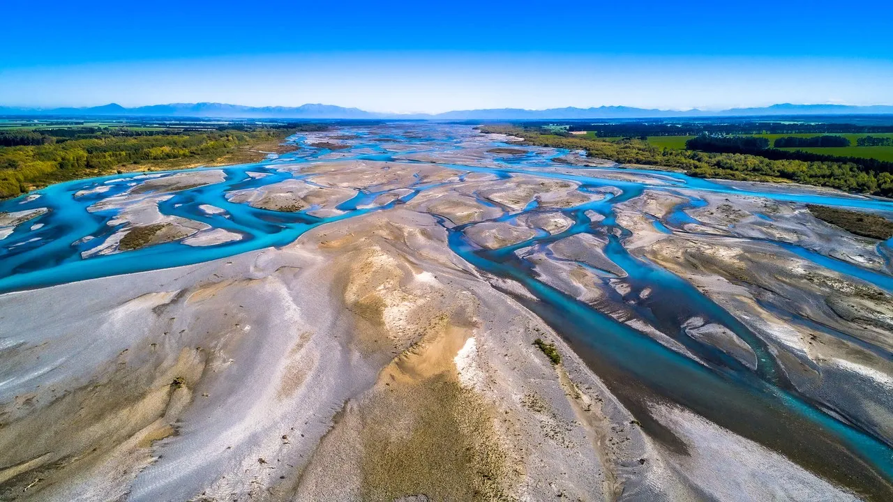
Mid Canterbury cycling trails
Explore the region in depth with the vast variety of trails on offer.
Cycling trails
Mid Canterbury is home to a wealth of bike trails suitable from beginner to advanced.
Arrowsmith Station
Loop track (anti-clockwise direction) utilising private land with spectacular mountainous scenery. 4 - 6 of riding. $10 per day entry free.
- Track distance: 43km
- Start location: Mt. Arrowsmith Station, Hakatere Lake Heron Road, Mid Canterbury
Ashburton/Hakatere River Trail
Follow Ashburton River from the township to the coast at Hakatere. Cycle through farmland and willows to the river mouth. Easy trail can be cycled in either direction. Several access points allow flexibility.
- Track distance: 19km
- Start location: State Highway 1 next to Ashburton River.

Lake Clearwater Circuit
Views of Lake Clearwater and Mount Guy. Easy ride on a shared use track.
- Track distance: 10.3km
- Start location: Lake Clearwater, Hakatere Potts Road
Lake Emma to Lake Camp
Cycle around the edges of Harper Range. Enjoy stream crossings and mountainous scenery.
- Track distance: 9.5km loop.
- Start location: Lake Emma is marked from Hakatere Potts Road, at the end of Ashburton Gorge Road.
Lake Emma to Balmacaan Saddle
A multi use track - mountain bikers code applies with views down to the Rangitata River.
- Track distance: 15km loop.
- Start location: Lake Emma is marked from Hakatere Potts Road, at the end of Ashburton Gorge Road.

Lake Hood
A purpose built dual access track that travel's along the banks of the Ashburton River to Lake Hood.
- Track distance: 7.4km to the top of the lake.
- Start location: Ashburton, south end of SH1 Ashburton River Bridge.
Double Hill via Turtons Saddle to Comyns Hut
A track through farmland, streams and tussock fields. There are some poorly defined sections on this track with it being steep and rough in areas. There are also several stream crossings. The 'A' Framed Hut has 3 bunks and Comyns Hut (sleeps 8) en route.
- Track distance: 17.5km
- Start location: From Mount Hutt, turn off SH77 onto Blackford Road (becomes Double Hill Run Road), follow up the true right of the Rakaia River.
Mt Hutt Bike Park
Comprises of 24 varying tracks with the lower slopes home to 15kms of downhill free ride trails, great for all abilities. Check out Big Al's for more information.
Don't miss a thing
Sign up to our newsletter to get valuable updates and news straight to your inbox.
)
)
)
Share