Our destinations
From the Pacific Ocean and volcanic peninsula to plains, vineyards, and glacial lakes beneath the majestic Southern Alps, Ōtautahi Christchurch & Canterbury offers endless wonders.
visit
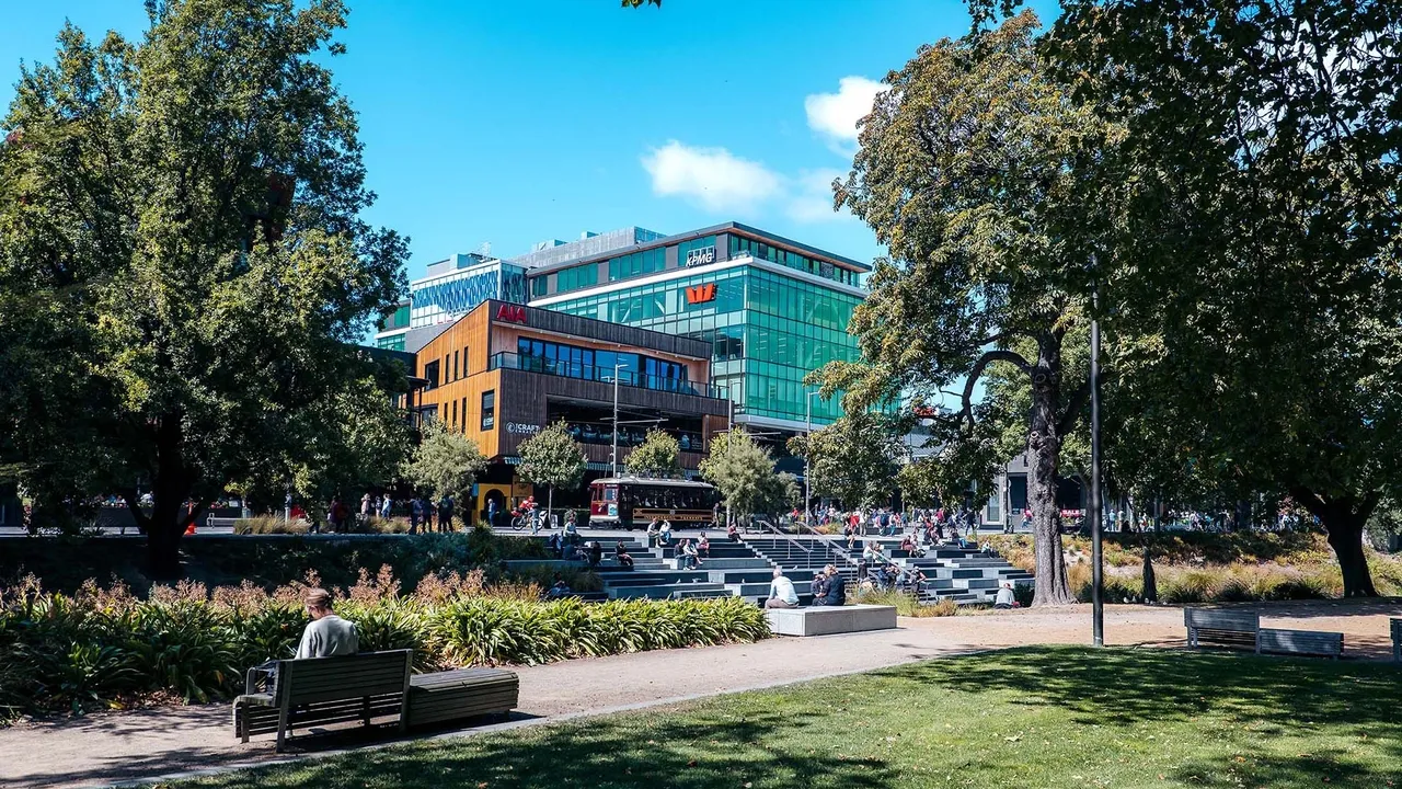
Discover Ōtautahi Christchurch
Home to nature's most diverse playground and the South Island's most modern and exciting city, Ōtautahi Christchurch has something for everyone, from everywhere. Slow down and soak up everything our city has to offer.
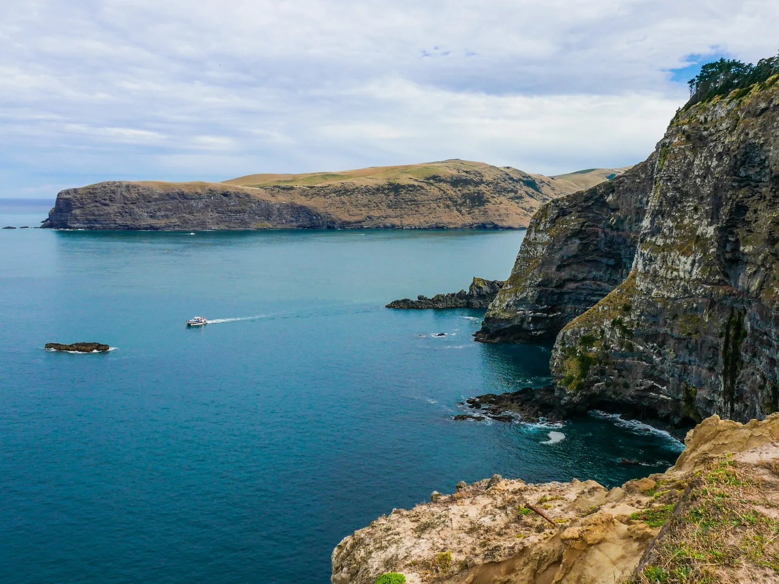
Akaroa & Banks Peninsula
Banks Peninsula is one of New Zealand's most unique landforms. With endless hills, bays and hidden bush, this is Nature's Playground right on Christchurch's doorstep.
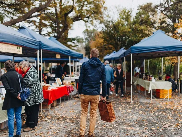
Waimakariri
Only 20 minutes north of Christchurch’s hustle and bustle is a region of vast natural beauty, slower paced country towns and beach settlements all offering their own unique experience.
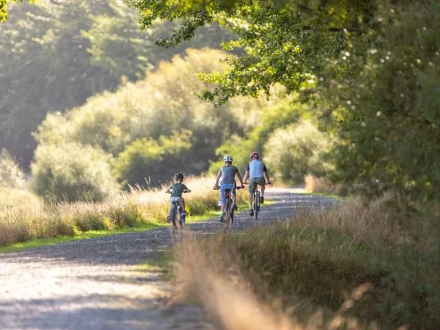
Selwyn
From the majestic Southern Alps and Arthur's Pass, down the braided Rakaia and Waimakariri rivers, and over the patchwork Canterbury plains to the vast coastal lake of Te Waihora/Lake Ellesmere, Selwyn is a place worth exploring!
Mid Canterbury
From the Southern Alps to the Pacific Ocean, with stunning snow-capped Mt Hutt and bordered by impressive braided rivers and crystal clear lakes, Mid Canterbury offers an inspiring range of activities, complemented by genuine New Zealand hospitality.
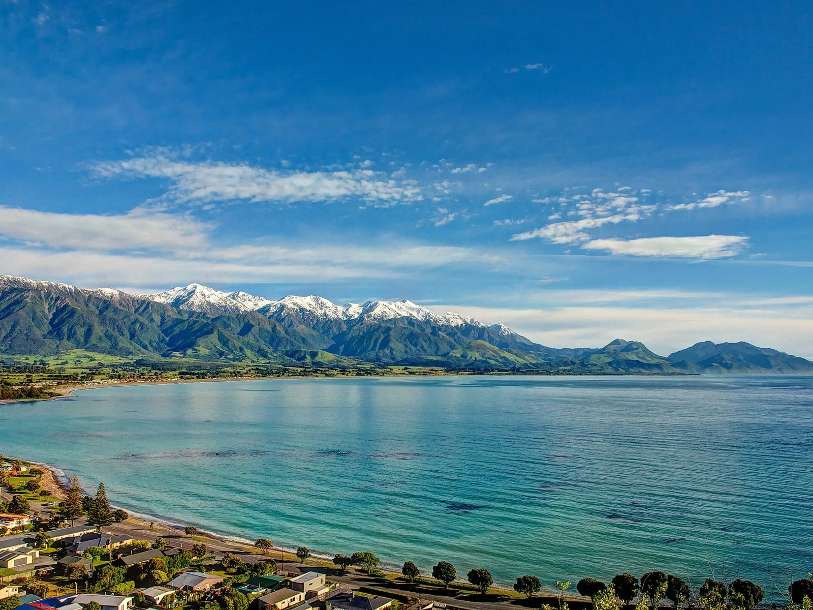
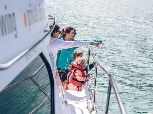
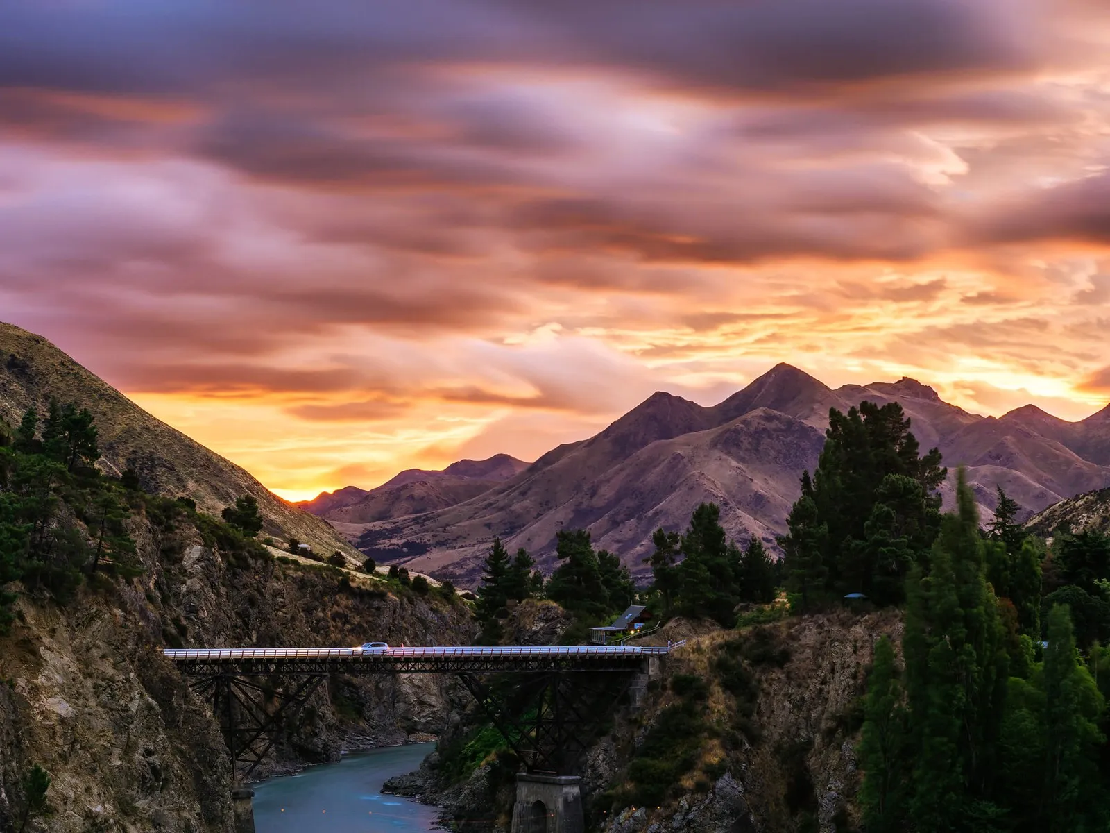
Kaikōura
A 3 hours' drive north from Christchurch, you'll find Kaikōura - New Zealand's leading eco-tourism destination, with an amazing variety of marine and birdlife along its dramatic rugged coastline.
Hurunui & Hanmer Springs
A destination for families, foodies and adventure seekers, Timaru & South Canterbury are stacked with beautiful outdoor environments. Explore ancient Māori rock art, history and heritage, outdoor adventures, fabulous fare, and great Kiwi hospitality.
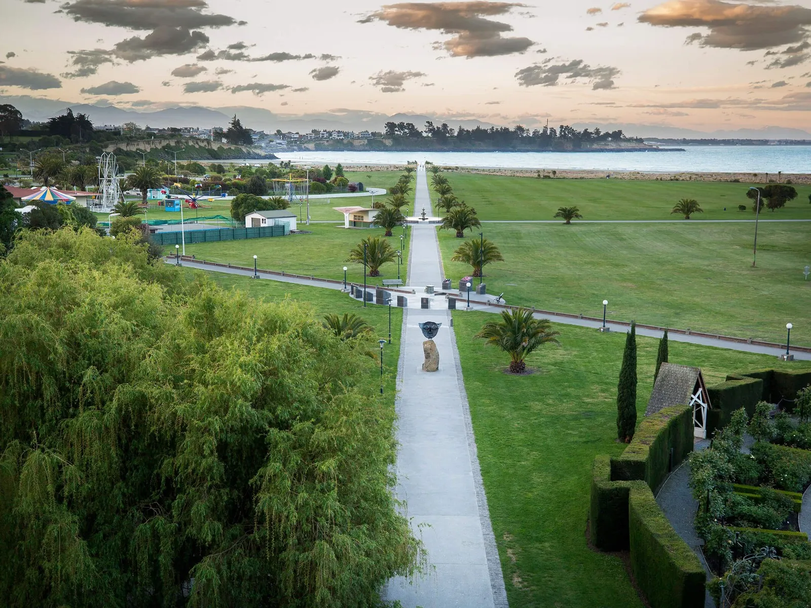
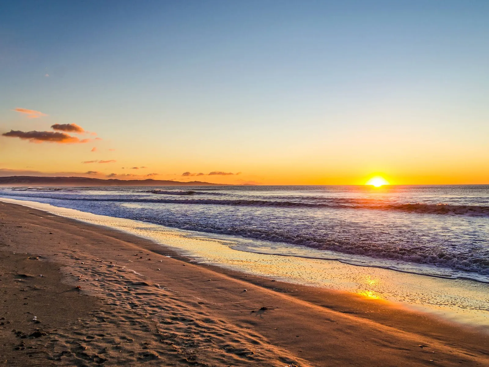
South Canterbury
A destination for families, foodies and adventure seekers, Timaru & South Canterbury are stacked with beautiful outdoor environments. Explore ancient Māori rock art, history and heritage, outdoor adventures, fabulous fare, and great Kiwi hospitality.
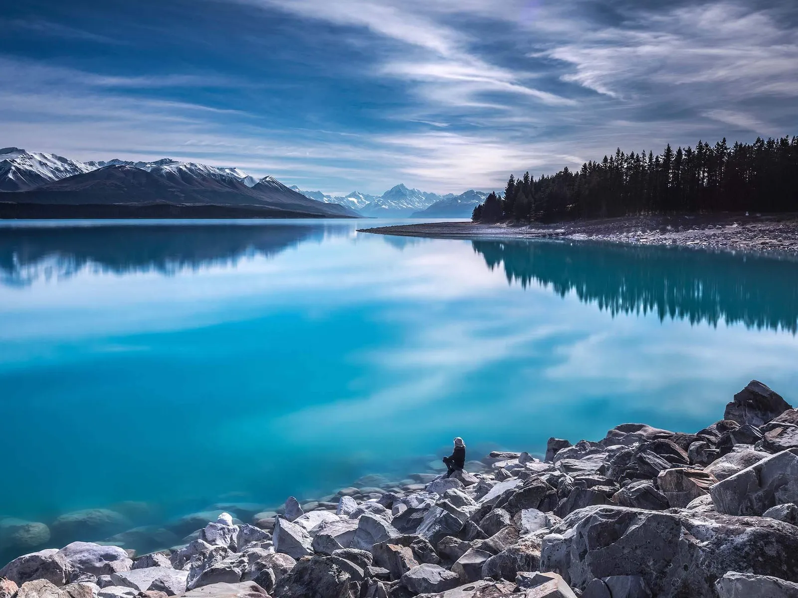
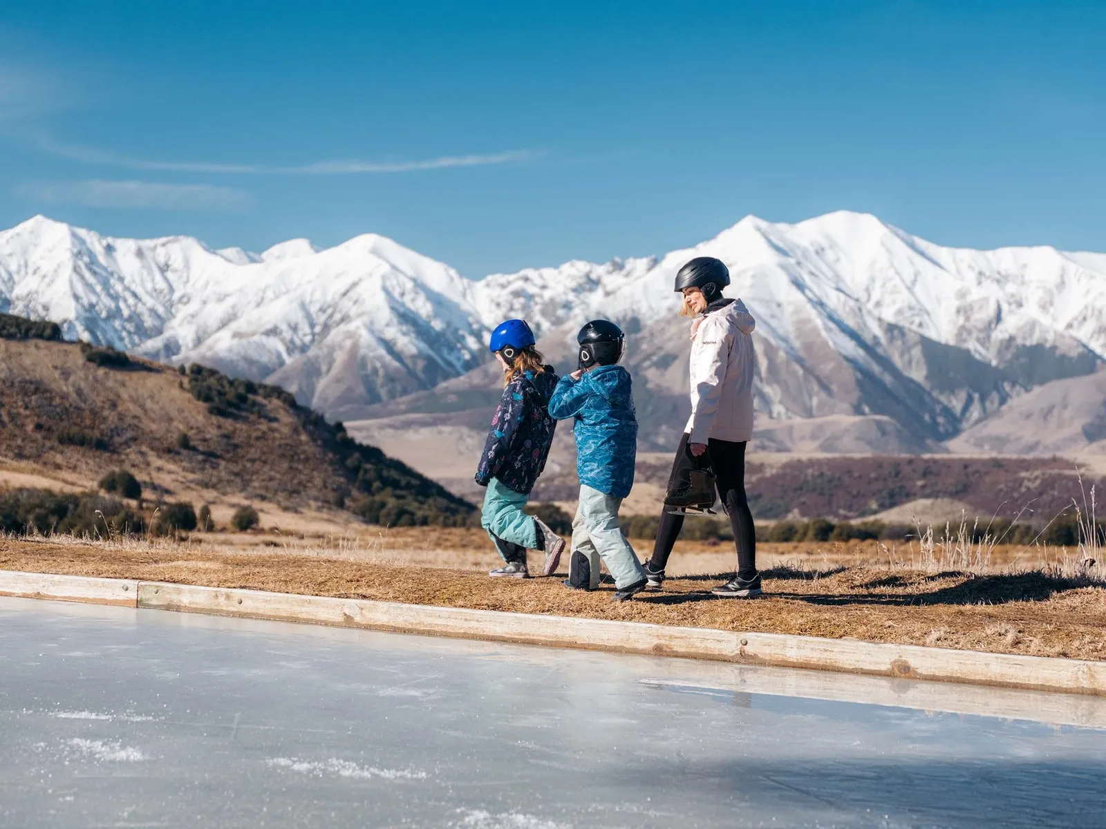
Mackenzie Region
Clearest starry skies, highest mountains, vivid turquoise lakes, expansive golden grasslands - welcome to the Mackenzie Region!
Things to do
Discover more of our region
Discover the best each pocket of our region has to offer with inspiration on where to go and what to do.